Mapa en Relieve de Guatemala
About This Museum
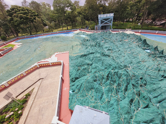
Let's get one thing straight: you don't just *look* at this map, you experience it. Built right into the ground of a beautiful park in Zone 2, this isn't some small model behind glass—it's a sprawling, walkable monument to Guatemala's dramatic landscape. Created in 1905, the sheer scale of it is what hits you first; you're literally towering over entire mountain ranges and peering into the craters of its most famous volcanoes. It’s geography made tangible, a breathtaking lesson you can walk around.
Collection Highlights
The star of the show is, without a doubt, the meticulously crafted terrain itself. You can trace the winding path of the Motagua River with your finger, feel the perfect cone of Volcán de Agua, and spot tiny model towns connected by painted roads. The attention to detail is incredible, with everything painted in vibrant earth tones that make the country's topography pop in the bright sun.
Visitor Information
For the best view, head up to the circular viewing platform that encircles the map—it’s worth the small fee just for that perspective. Wear a hat, as you're completely exposed to the elements while exploring this open-air wonder. Afterwards, take a leisurely stroll through Hipódromo Park surrounding it; it’s the perfect way to decompress after feeling like a giant for an hour.
Architecture & Building
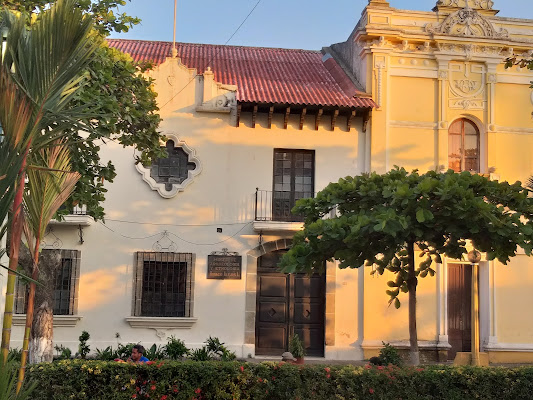
The map itself is housed in a simple, elegant neoclassical pavilion with a distinctive red-tiled roof and arched openings, but honestly, the building takes a backseat to the masterpiece it protects.
Contact & Location
Address: Mapa en Relieve, Final Avenida Simeón Cañas, Colonia Jardines del Zapote, Ciudad de Guatemala, Zona 2, Departamento de Guatemala, 01002, Guatemala
Phone: +502 3377 9999